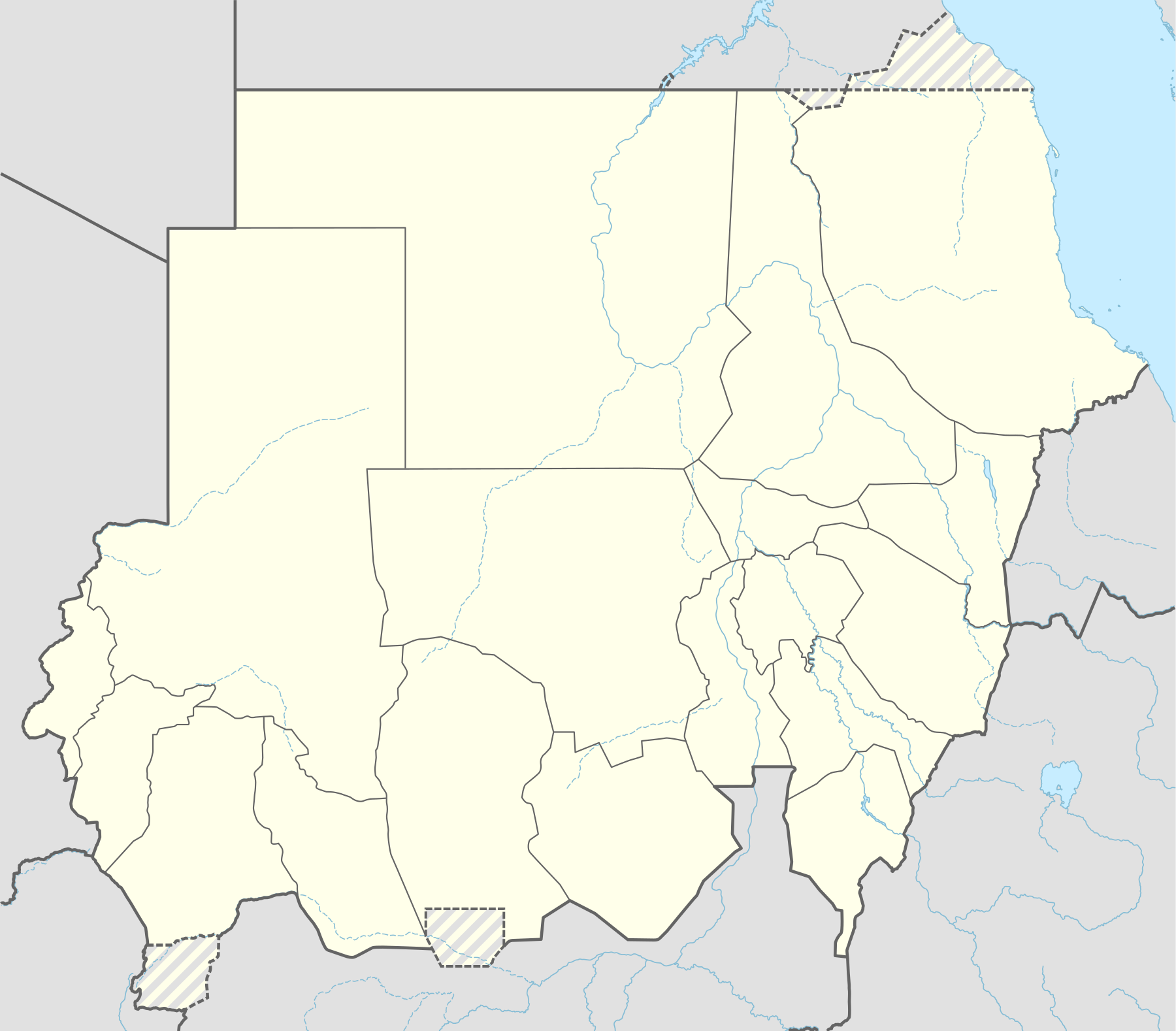
Template:Sudanese Internal Conflict detailed map
Appearance
Hold cursor over location to display name; click to go to sources &/or status description (if available, the cursor will show as  ; if not, it will show as
  ).
).
Small icon within a larger icon: The situation in individual neighbourhood/district
 Under control of the Government and Allies
 Under control of the Sudan People's Liberation Movement-North and allies
 Under control of the Sudanese Awakening Revolutionary Council & Janjaweed
 Under control of the Sudan Liberation Movement/Army - Justice and Equality Movement alliance (SLM-JEM/SLA-JEM) and allies (Egyptian Government to the north)
 Under control of the local forces and tribes
Contested
 Government & Allies - Sudanese Awakening Revolutionary Council & Janjaweed
 Government & Allies – Sudan People's Liberation Movement-North & allies
 SLA-JEM & Allies – Sudanese Awakening Revolutionary Council & Janjaweed
 Government & Allies - SLA-JEM & Allies (north: Egyptian Gov't)
Other


 Army base


 Airport or air base (jet)


 Airport or air base (helicopter)


 Oil field and terminal
 Major port, naval base
 Border post
 Dam
Dam Industrial complex or oilfield
 Rural presence
Inner controls, outer sieges (or strong enemy pressure) : ![]()
![]()
![]()
![]()
Small icon within a larger icon: The situation in individual neighbourhood/district
| This template uses Lua: |
| This template may have no transclusions. This is because it is substituted by a tool or script, it is used as part of a short-term or less active Wikipedia process, or for some other reason. |
How war map template work with other parts of Wikipedia
[edit]
How war map template work with other parts of Wikipedia
[edit]
How to update the map?
- Go to Module:Sudanese Internal Conflict detailed map and edit
or
- Write a message at the talk page asking for the map to be updated

